
Astronaut Photography of Earth - Display Record
ISS006-E-54521
Low-resolution Browse Image
Identification
Mission: ISS006 Roll:
E Frame: 54521 Mission ID on the Film or image:
ISS006
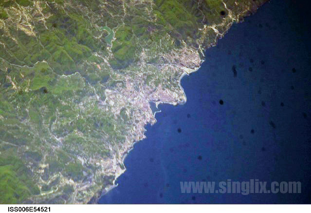
Country or Geographic Name: TURKEY
Features: ZONGULDAK, COASTLINE
Center Point Latitude: 41.5 Center Point Longitude: 32.0 (Negative numbers indicate south for
latitude and west for longitude)
Stereo:
(Yes indicates there is an adjacent picture of the same
area)
ONC Map ID: JNC Map ID:
Camera
Camera Tilt: 50
Camera Focal Length:
800mm
Camera: N1
Film:
2000E : 2000 x 1312 pixel CCD, RGBG imager color filter.
Quality
Film Exposure:
Percentage
of Cloud Cover: 10 (0-10)
Nadir
Date: 20030502 (YYYYMMDD)GMT Time: 082802
(HHMMSS)
Nadir Point Latitude: 43.4, Longitude: 35.6
(Negative numbers indicate south for latitude and west for
longitude)
Nadir to Photo Center Direction: Southwest
Sun
Azimuth: 148 (Clockwise angle in degrees from north to the sun
measured at the nadir point)
Spacecraft Altitude: 206 nautical
miles (382 km)
Sun Elevation Angle: 59 (Angle in degrees
between the horizon and the sun, measured at the nadir point)
Orbit
Number: 1385